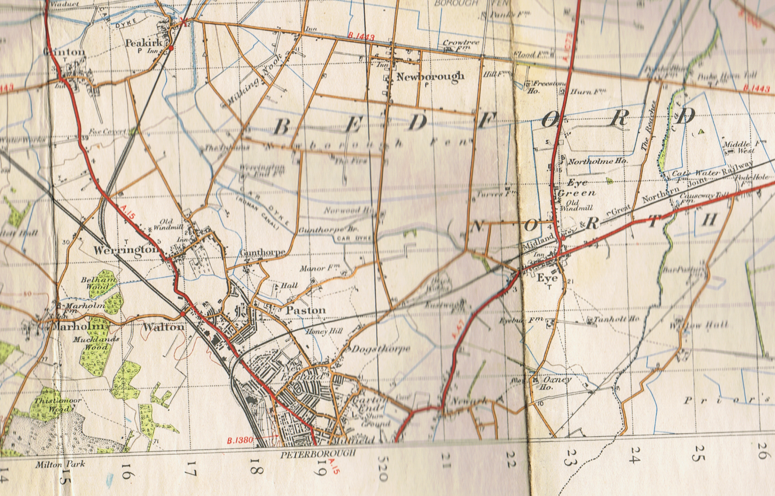
The map below is a scan of Ordnance Survey Map One Inch Map Sheet 123, published in 1946 (full revision 1927 with later corrections). The next full revision was in 1947. Peterborough is right on the edge of the map, with the south of the city being on Sheet 134.
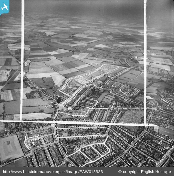
The aerial shot was taken in 1948 and is courtesy of http://www.britainfromabove.org.uk/image/eaw018533. The route of Lawn Ave can be clearly seen in the foreground, but with only a few of the houses built. Which confirms the date of my house as 1949.

